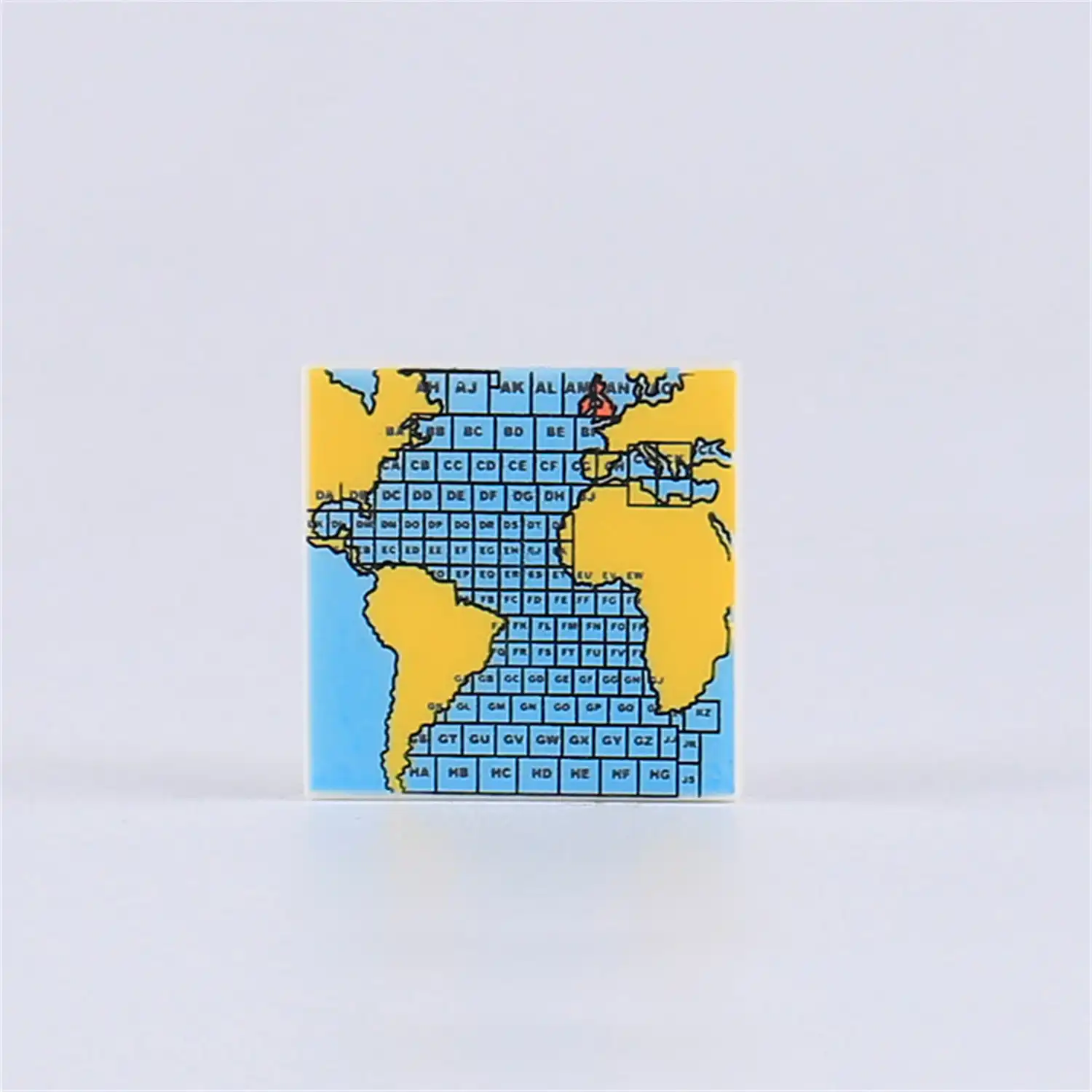
This item is a custom printed tile accessory for a toy minifigure, designed to represent a naval navigational chart or a military strategy map. The filename “经纬网图” (Jīngwěi wǎng tú) confirms this, as it translates to “Grid Map.”
The tile displays a map focused on the Atlantic Ocean, with simplified yellow silhouettes of the surrounding continents: North and South America on the left, and Europe and Africa on the right.
The most important features of this map are:
- A detailed alpha-numeric grid system is overlaid on the entire ocean. Each square of the grid is labeled with a unique two-letter code (e.g., CB, DC, ED). This type of grid is essential in naval and military operations for precisely plotting the location of ships, tracking fleet movements, or coordinating attacks.
- A red circular marker with a symbol inside is placed in the North Atlantic. This likely represents a point of strategic interest, such as the location of an allied or enemy fleet, a convoy, or a specific mission objective.
This accessory is ideal for naval-themed minifigures from any era, such as a ship’s captain on the bridge, an admiral in a command center planning a battle, or even characters playing a wargame.


Reviews
There are no reviews yet.